6.35 miDistance
1,856 ftElevation gain
2,014 ftElevation loss
5 h 0 mTime
Another great breakfast this morning at the rifugio. I took one last stroll around the grounds of the place before heading back in and packing up. Today was a bit overcast but the sun was still shining brightly through it.
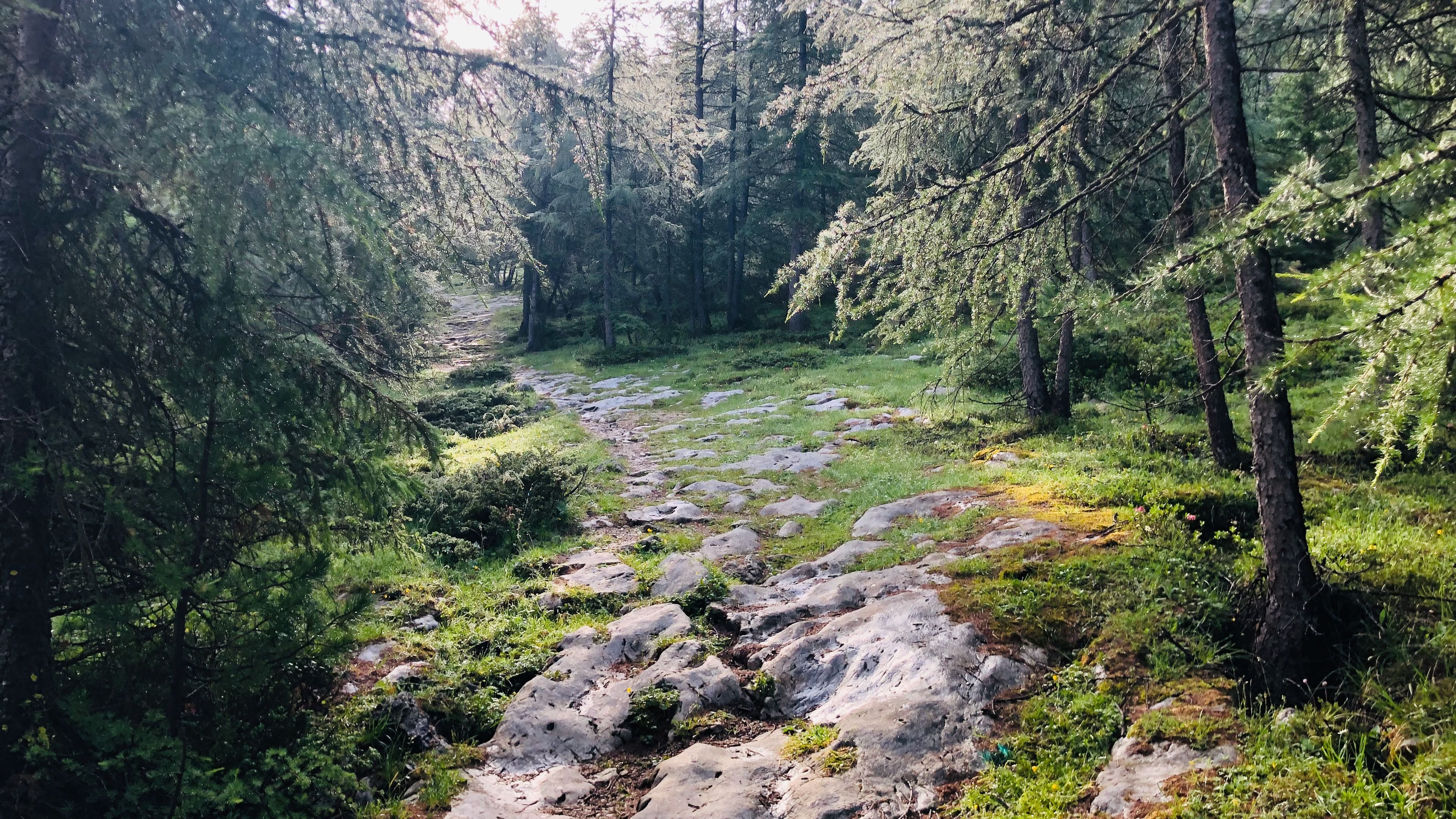
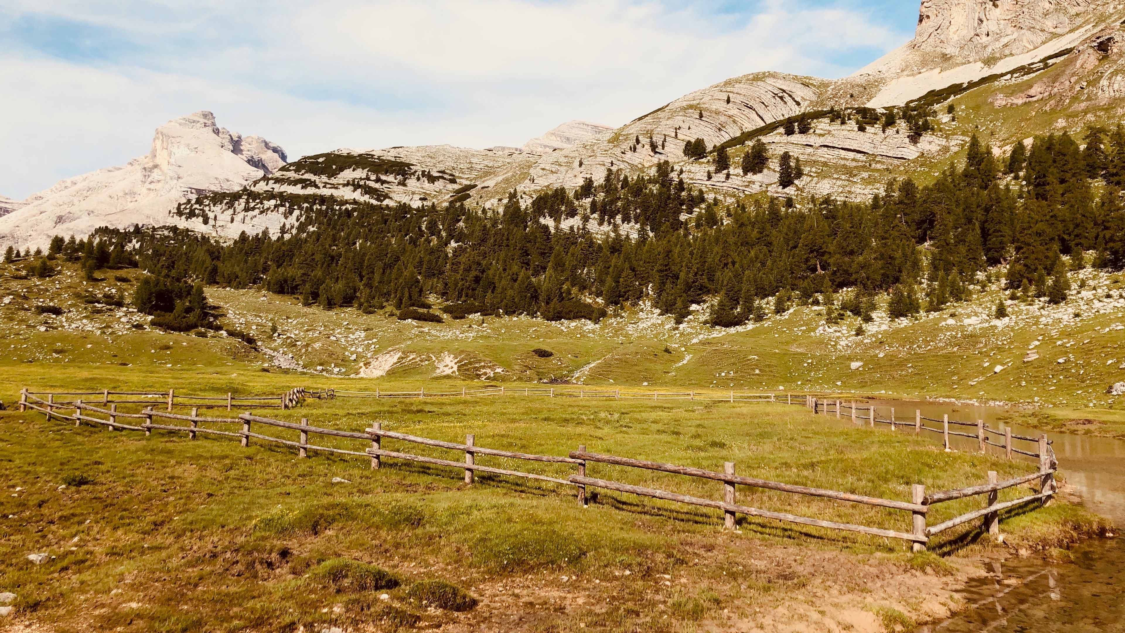
The trail took us away from the lake/pond and into the woods. It gained elevation quickly, and before long we were up and above trees. Good timing as well since a little bit of cloud inversion was beginning to move in. The path left the trees behind and we were once again walking through rolling green hills littered with rocks of all shapes and sizes.
Our group was 6 strong today: Myself and my friend Cerstin, along with two mother-daughter pairs from the States. We kept the same pace mostly, but eventually one of the mother-daughter duos had some extra gas in the tank on an ascent later on and took off.
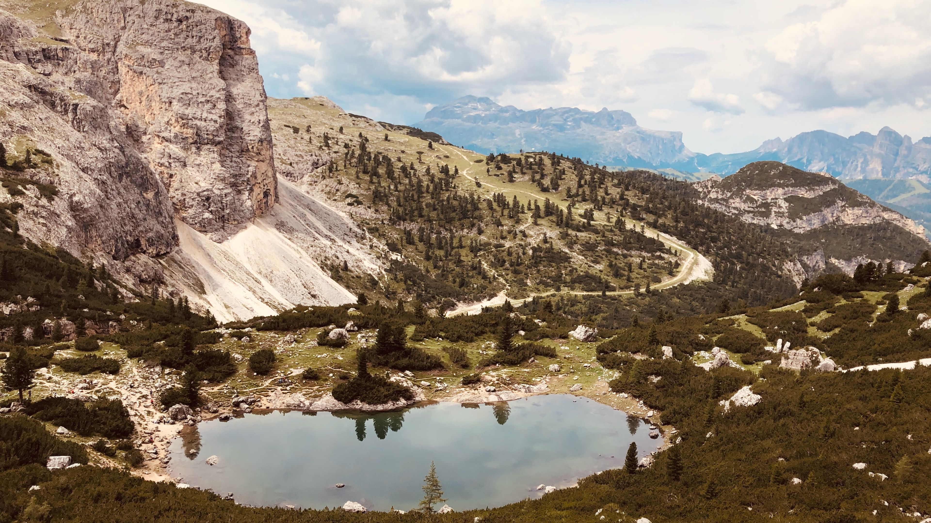
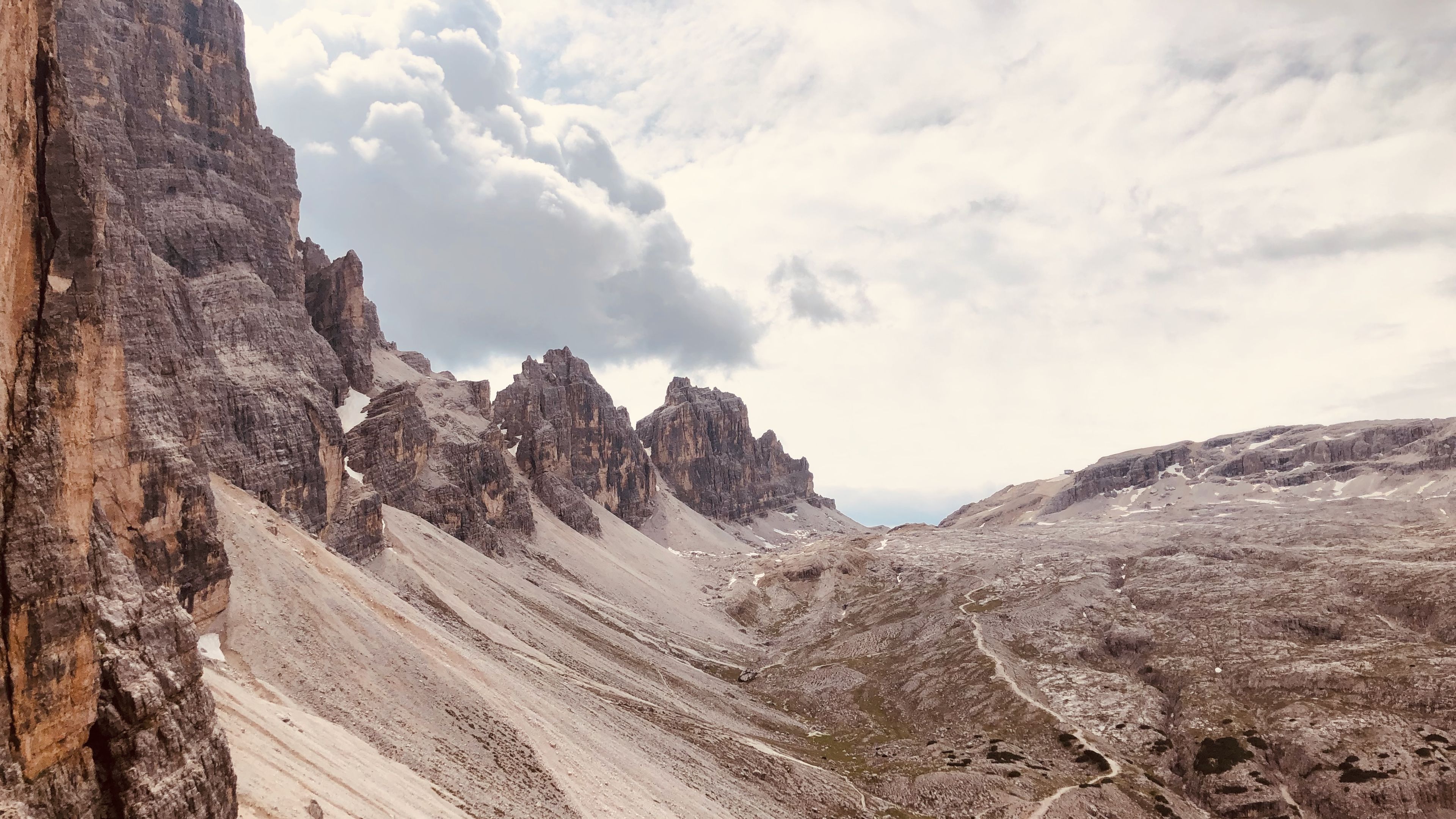
We passed lakes, empty cattle pens, crossed rivers, and skirted around massive boulders strewn about the land. At some point we happened upon a cave in the middle of the rock face, but upon further investigation it appeard to be nothing spectacular. Onwards we marched towards what seemed like the edge of the world in the distance.
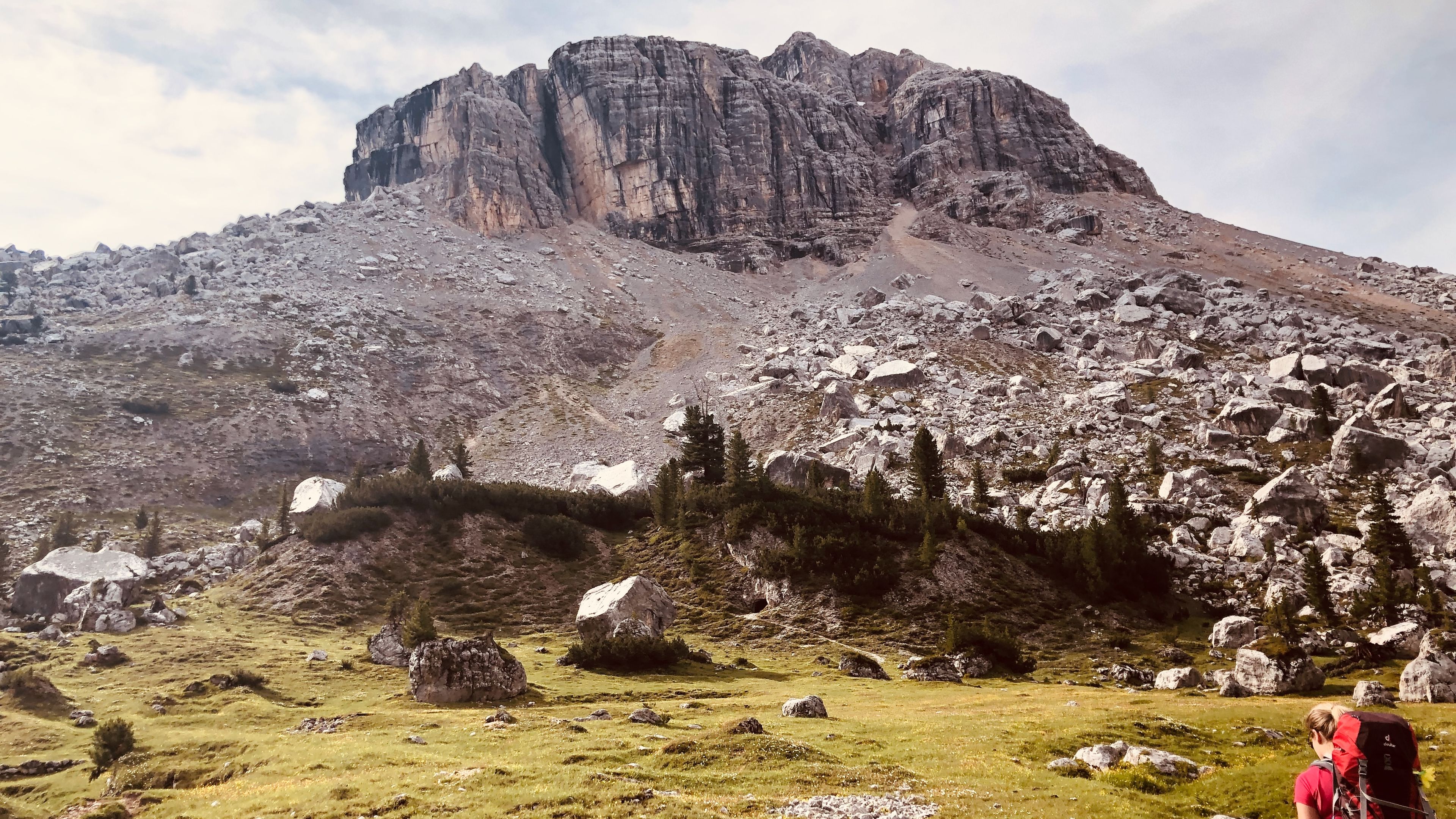
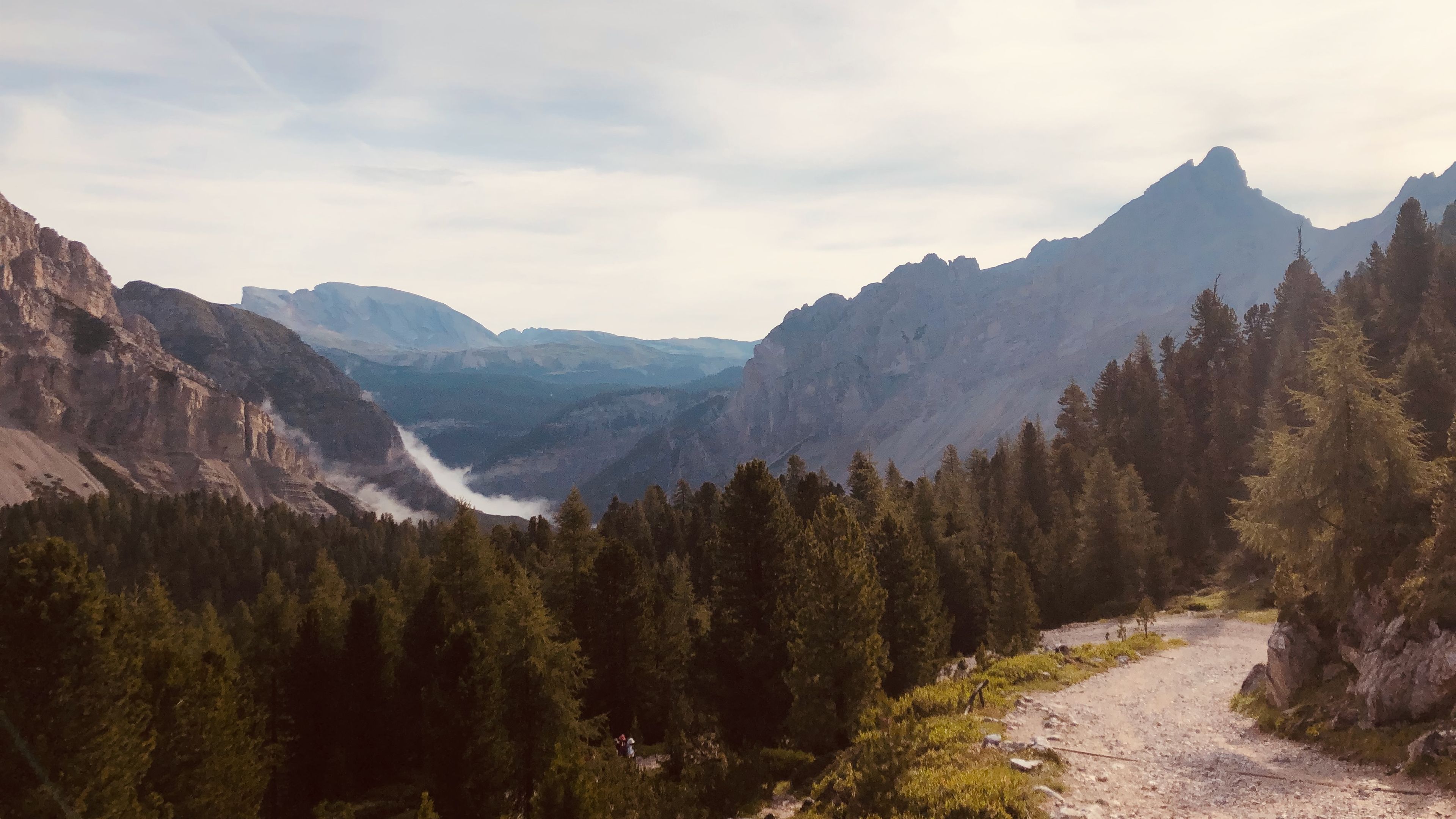
Before us, on either side, rose great walls of rock divided in the middle by a forested valley. At the edge of this forested valley there appeared to be a massive drop off, which usually meant steep decline (not so great for the knees). However, we first had to climb up the left side of this valley before we could make our descent. It took us about an hour of huffing and puffing to make it up to the top. There was still snow up there!
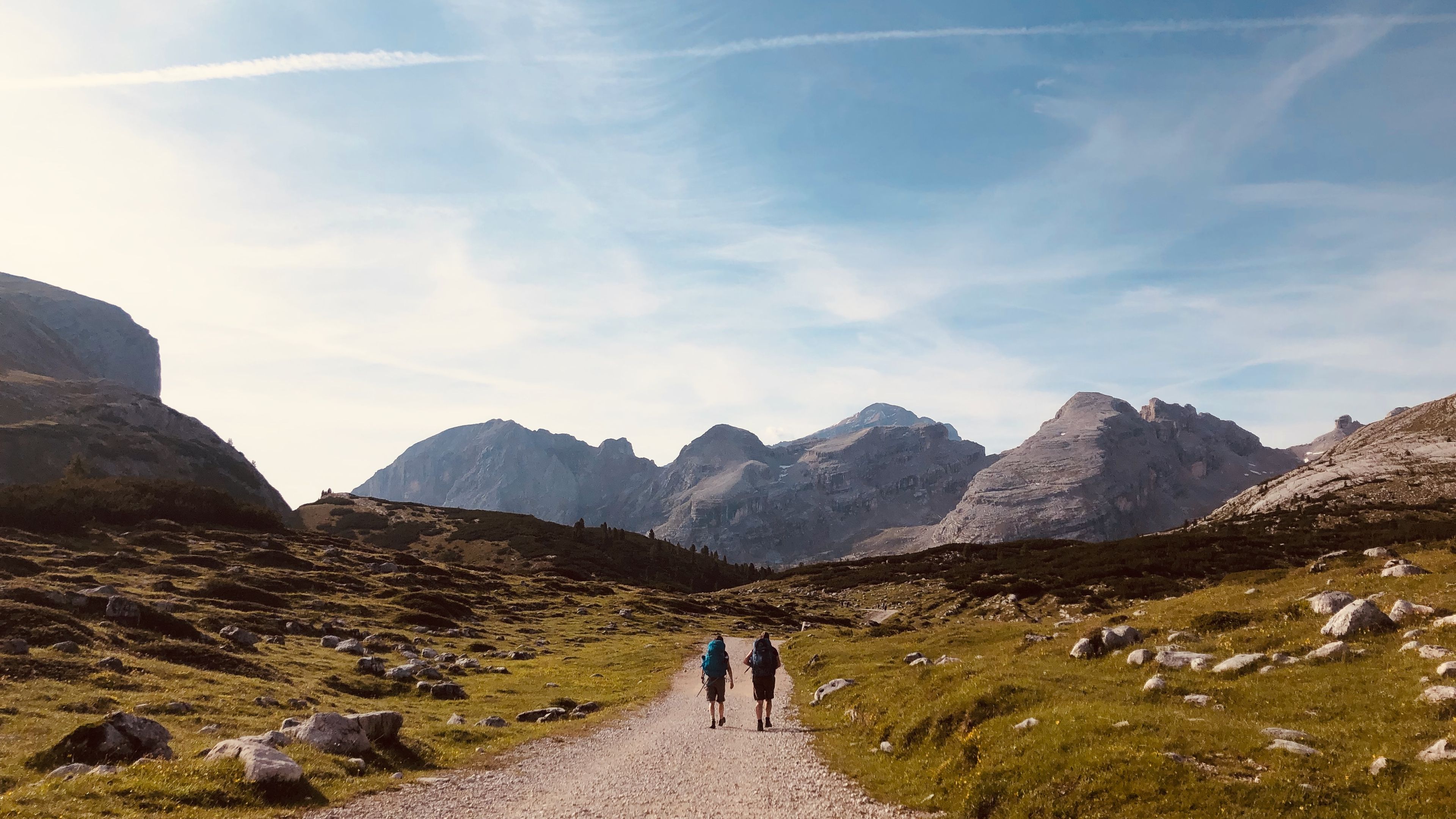
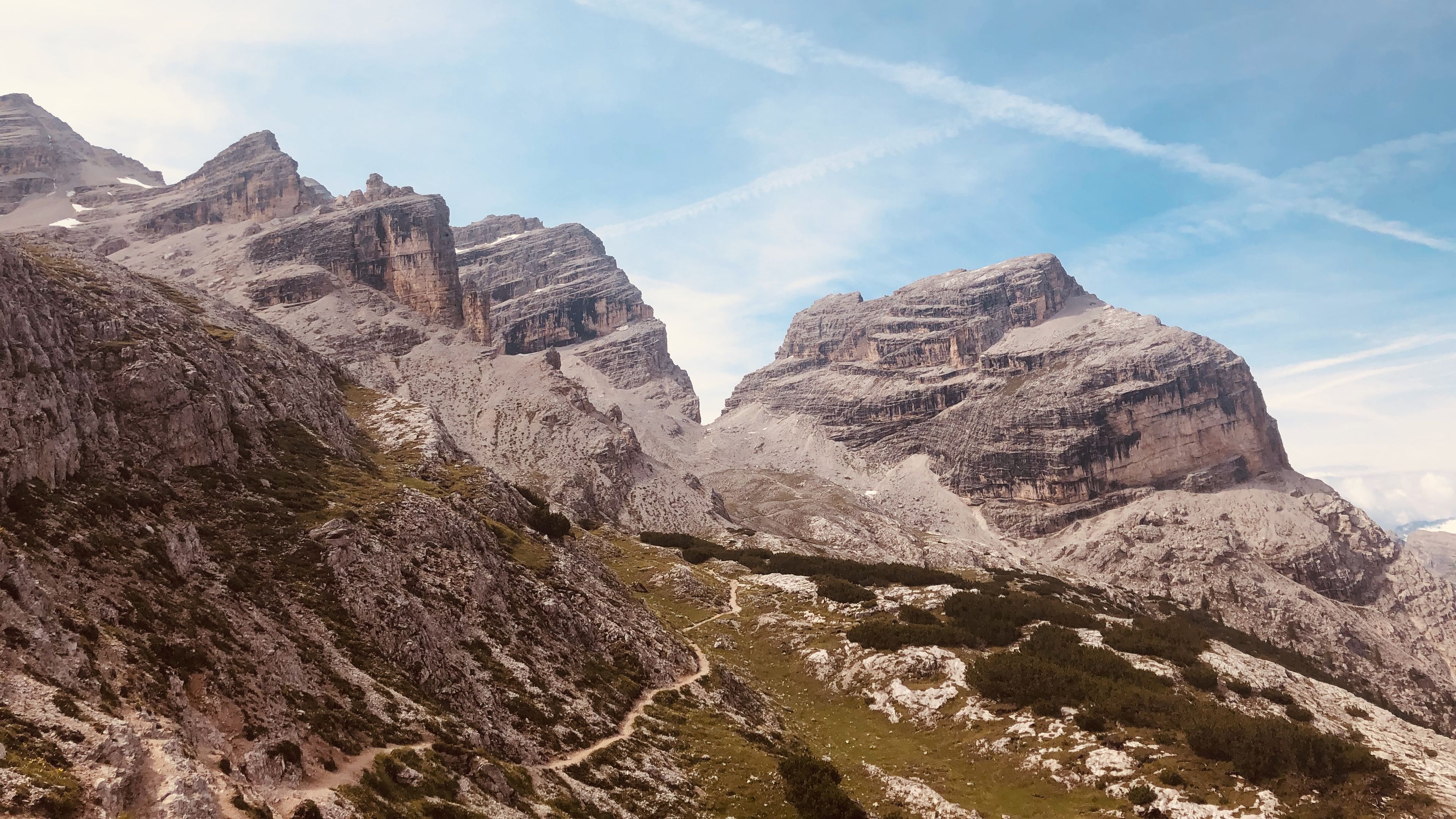
Once at the top we were able to see the path drop off and head down some steep-looking switchbacks towards a lake below. From our point of view it looked as if it was a straight drop down, which didn't seem fun. Thankfully, it wasn't that bad. The visibility up there was amazing though: we could see the trail for tomorrow stretch out in front of us.
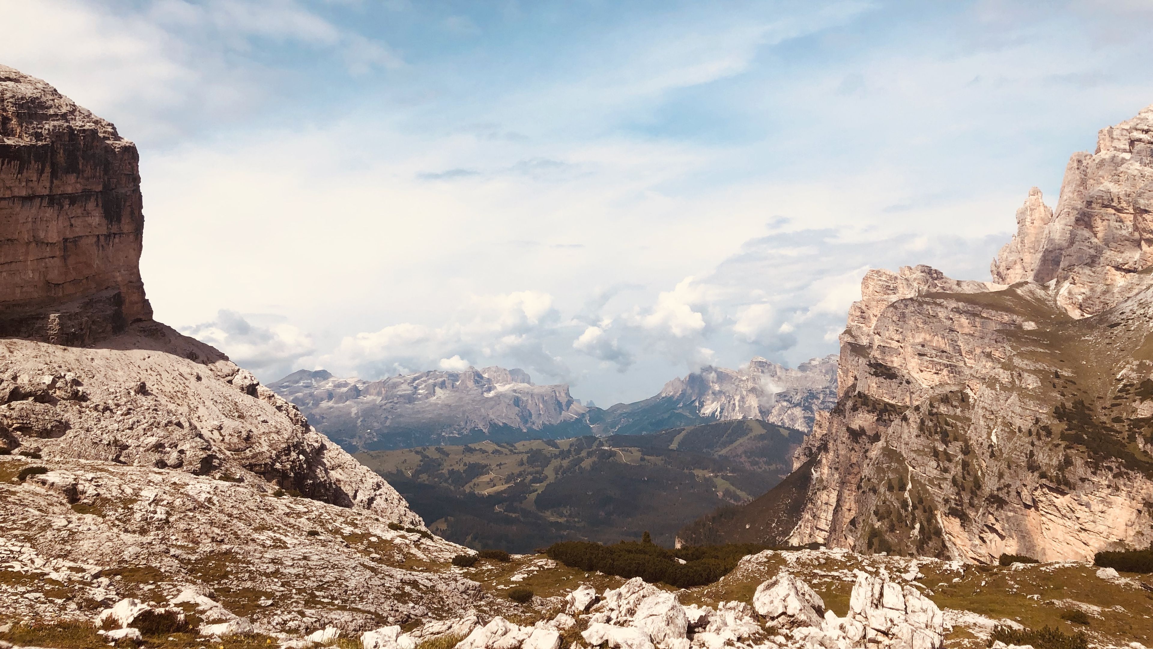
On the way down, as we approached the lake from above, a true wall of rock rose up to our left, and it dominated the local landscape. At the end of this wall it seemed that the world once again just dropped off.
We took a break at the lake in order to dip our feet in and pose for some photos. We weren't alone at this lake though, because a field trip full of kids was everywhere. That's one thing I've noticed about this trek so far: it's very accessible, you can practically drive to any point on it if you wanted. It wasn't a very "remote" hike, not like the Tour du Mont Blanc at least.
There were some stone ruins just beyond the lake, which I always love checking out. And our place for the night was visible in the distance, even if we had to go down a big chunk. There was a nice wide river/waterfall that paralleled the trail as we descended, which meant a great chance to get some fresh (filtered of course) water.
Some ruined World War II barracks and ammunition depots met us at the bottom of our descent as we made our approach to Rifugio Scotoni. This was a nice little place with comfortable rooms with a view, and a nice patio where we would have dinner later on. Clouds and rain moved in during the late afternoon, which gave us all a good excuse to chill and nap.
Amazing views of the stars at night from here! We had some beers on the patio at night and watched them go by for a bit.

