9.71 miDistance
4,694 ftElevation gain
3,336 ftElevation loss
7 h 40 mTime
Since we descended so much yesterday in order to get to the rifugio, we had to ascend right out of the gate this morning as we passed by the WWII ruins from yesterdays trail. I want to say that it took about an hour and a half in order to complete the initial ascent. However long it took, we were so high up that we were walking on snow.
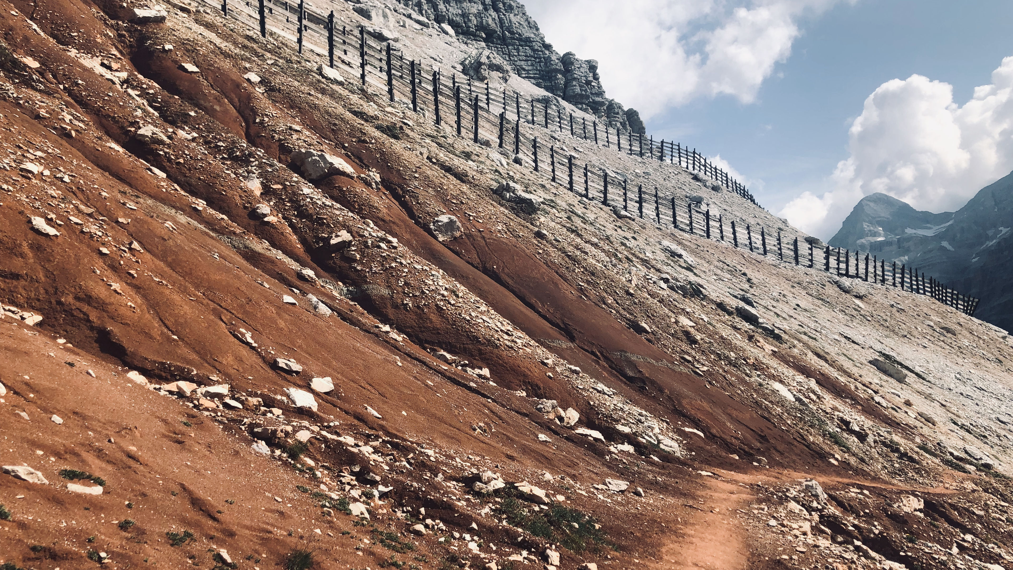
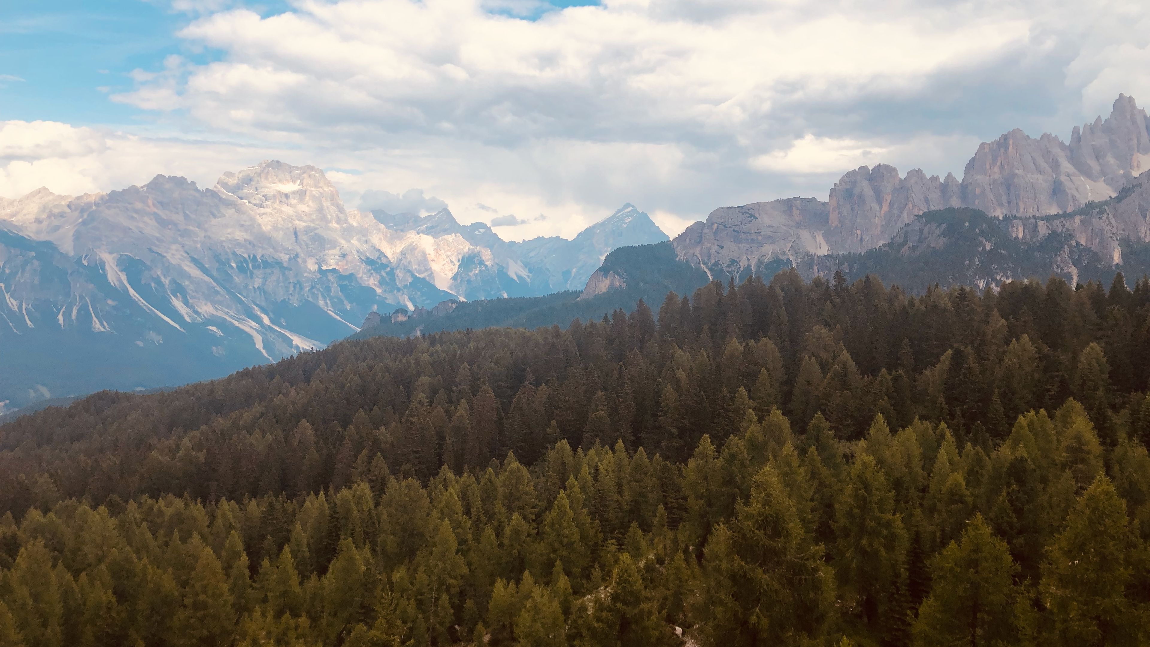
Today had a little bit of everything in terms of landscapes and environments. After crossing the snowy portions at the beginning there was a bend in the trail and we went around a mountainside that was the most red-brown rock/dirt that I have ever seen. It was also littered with anti-avalanche fencing meant to hold the snow back, or at least I think that's what they were for.
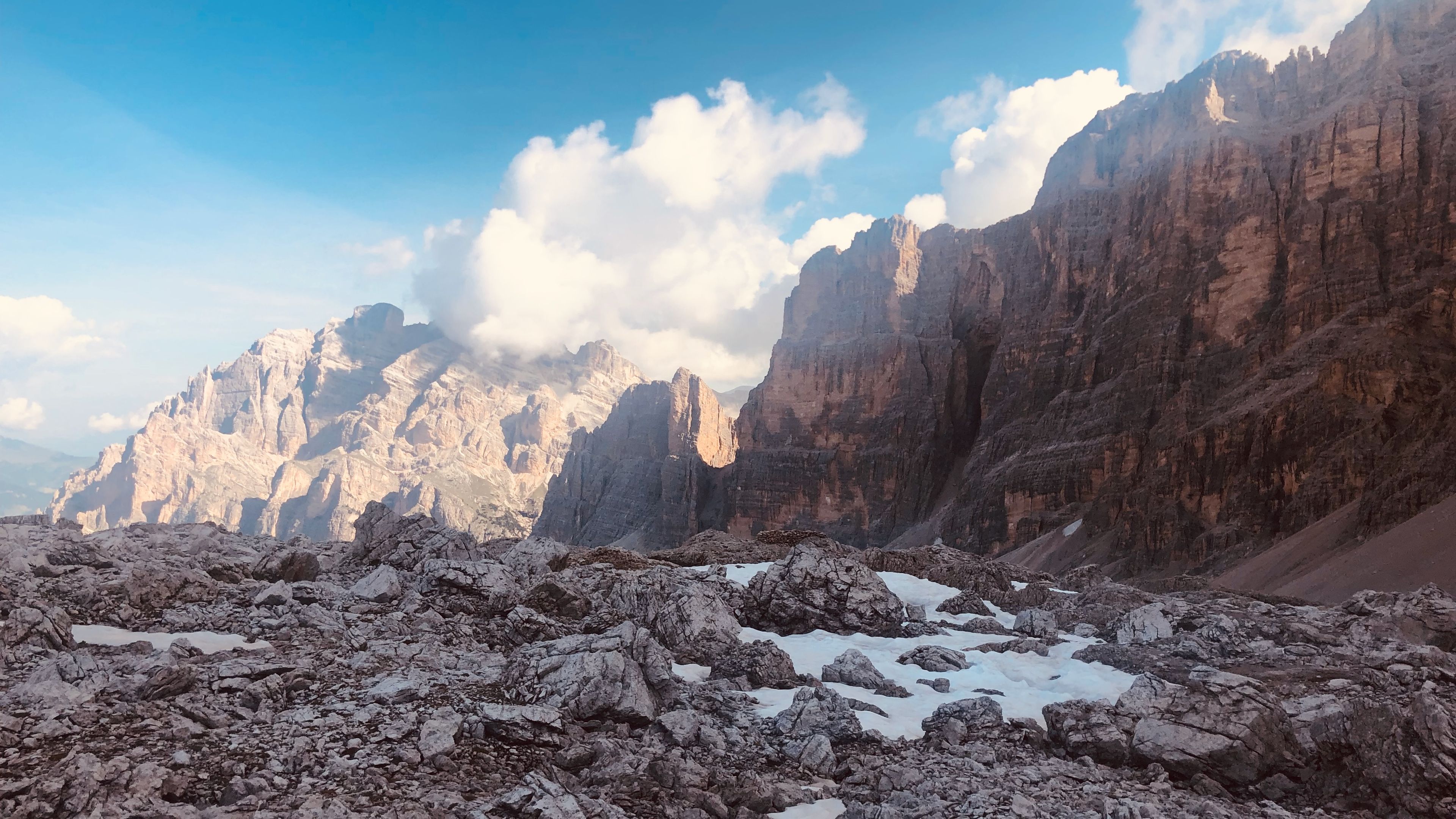
Once we finished going around the bend in the trail, the red-brown rock/dirt gave way to white stone and green grasses growing along the mountainside. We took in the views as we continued following the trail markers. Then came a junction in the trail, and no one seemed to know which way to go. Even the paper maps weren't much of a help. Needless to say, we took a wrong turn.
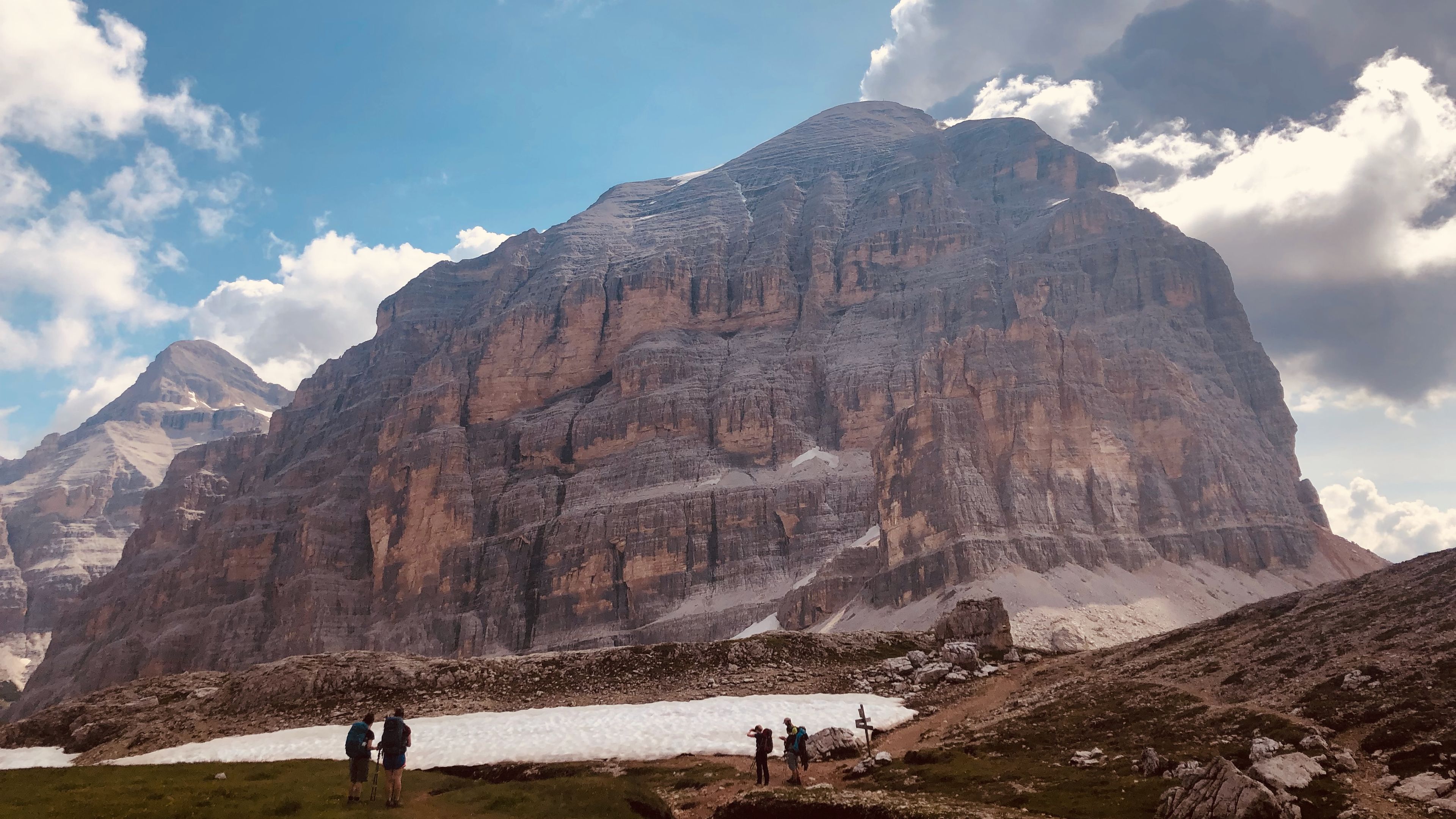
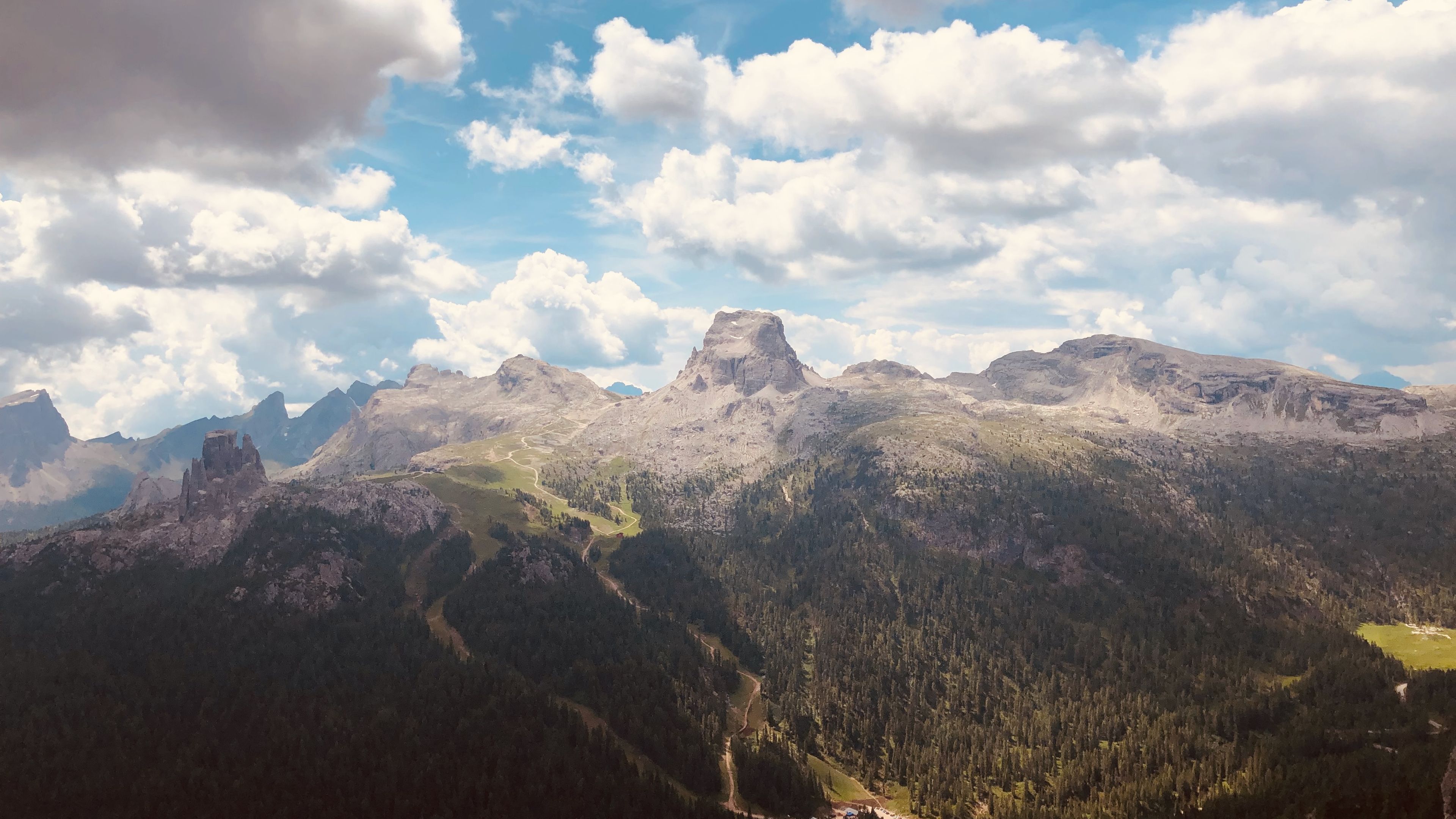
But it was a pretty cool wrong turn, simply because we got to walk next to this massive boulder that was just sitting there, almost like it was guarding the way. We were also treated to some pretty cool sights of a valley in the distance. We turned around and went back to the junction, and this time took the correct route that took us along a very thin strip of land around the base of a dome-like mountain.
More interesting looking ruins and caves along the way today as well. In the distance we could see Citta de Fume, and another mountain that looked like it had it's head chopped off.
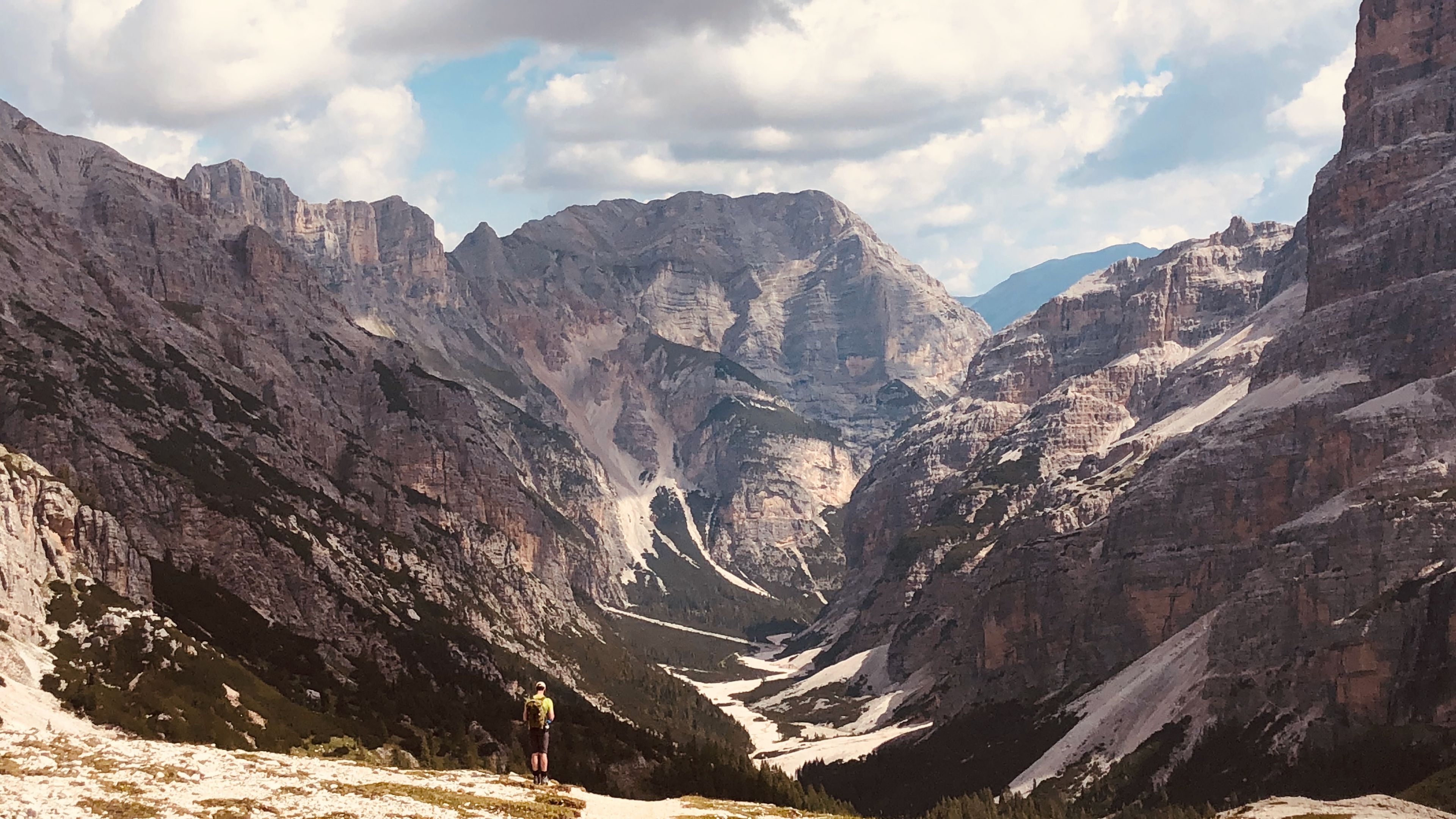
White/gray rock transitioned to green fields as we finished the route along the base of the dome-like mountain and began a series of moderate switchbacks. It's a good thing I had the knee braces on or else I would have been far worse off. We were met with thick conifer forests at the end of the switchbacks, and the trail took us to a restaurant in the woods with a patio overlooking the tree- tops.
If I haven't already mentioned it, the food on this trek is the best so far, and that's most likely due to the fact that these places are accessible by motor vehicles. I know that ruins the remoteness of it, but it does mean each place has a full kitchen and delicious foods to choose from. Case-in-point, I had a beer, salad, and burger with fries topped with an egg at this restaurant. Yum!
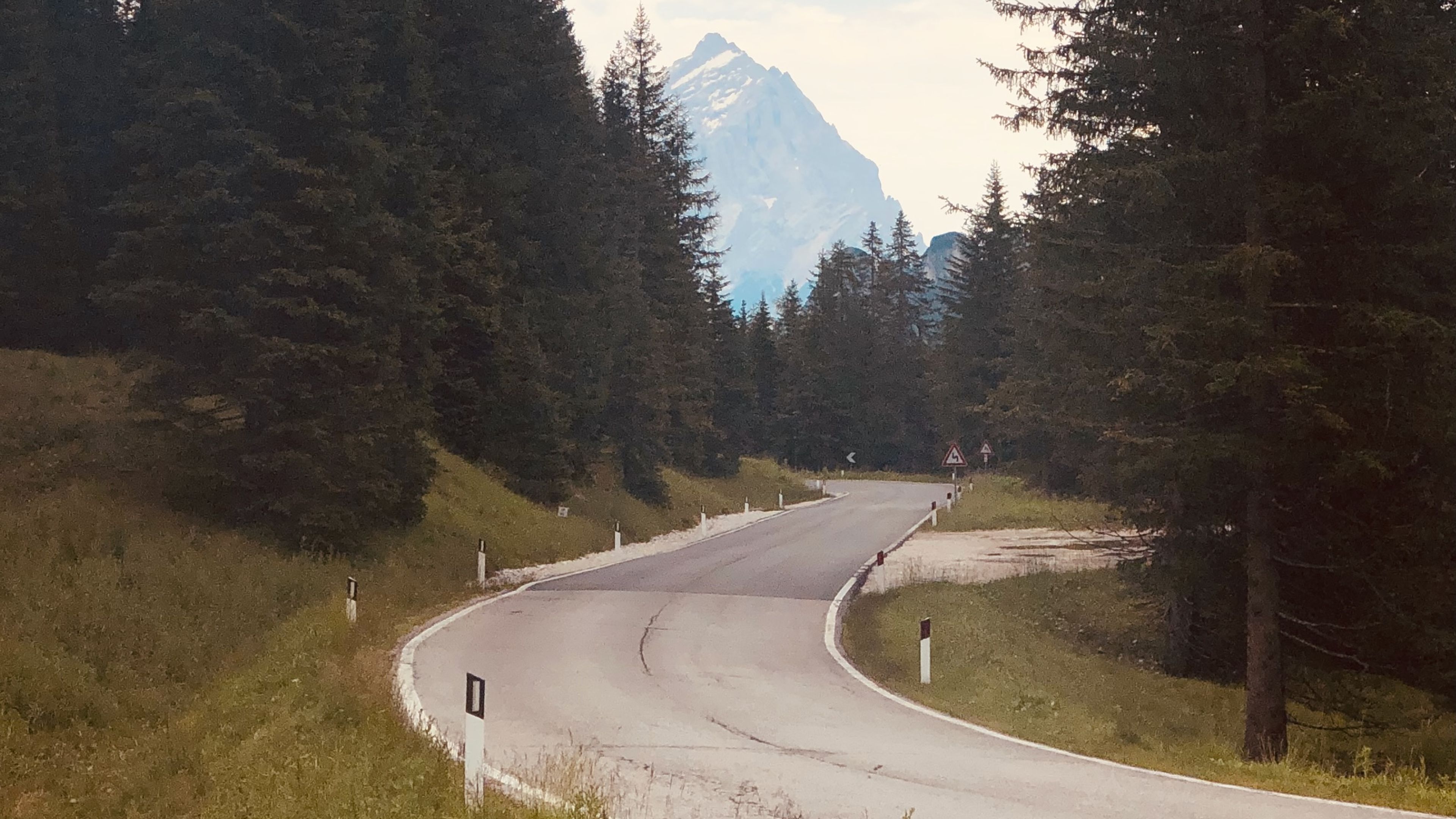
The next two hours, after leaving the restaurant, were filled with walking through forests, with some fleeting glimpses every now and then of the many mountains that were surrounding us, and a couple of road crossings. Finally we began to ascend out of the forests towards more familiar rocky terrain, and our destination for the night: Rifugio Averu.
Averu stood at the top of a rocky mountain slope with a steep drop-off on the other side that provided some great views from the dining hall windows. This place also had the fanciest meals on this trek, complete with hardboiled eggs for breakfast! We definitely stuffed our bellies full at this place. I think I actually gained weight on this trek.

